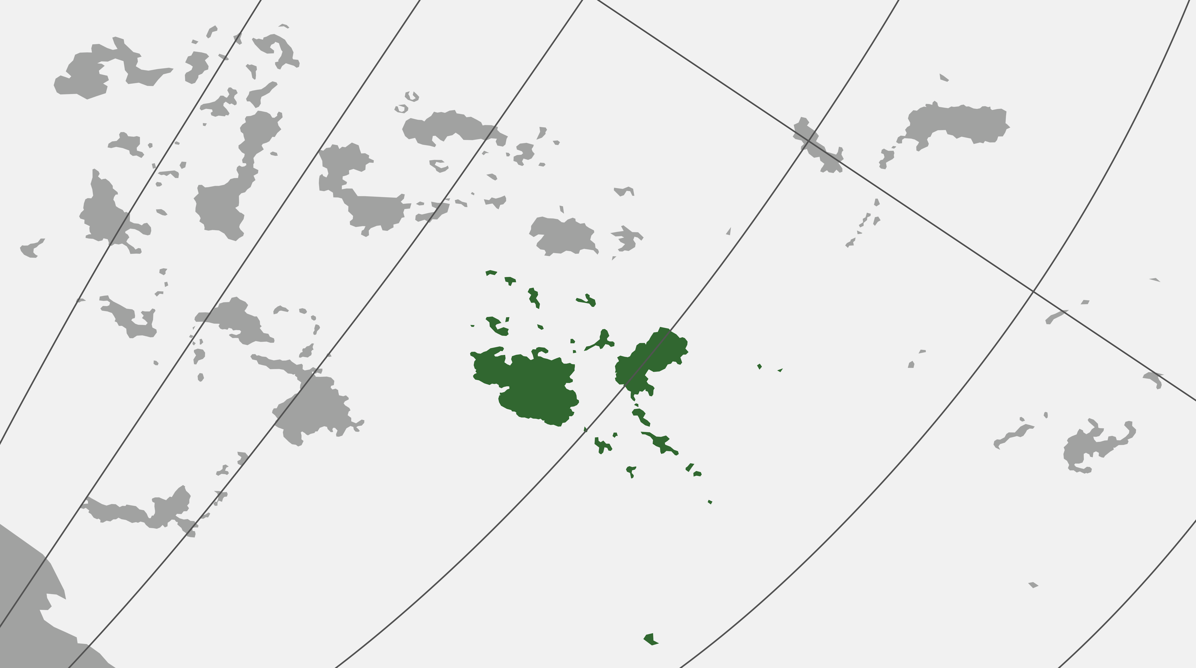
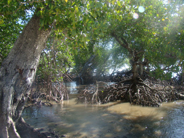
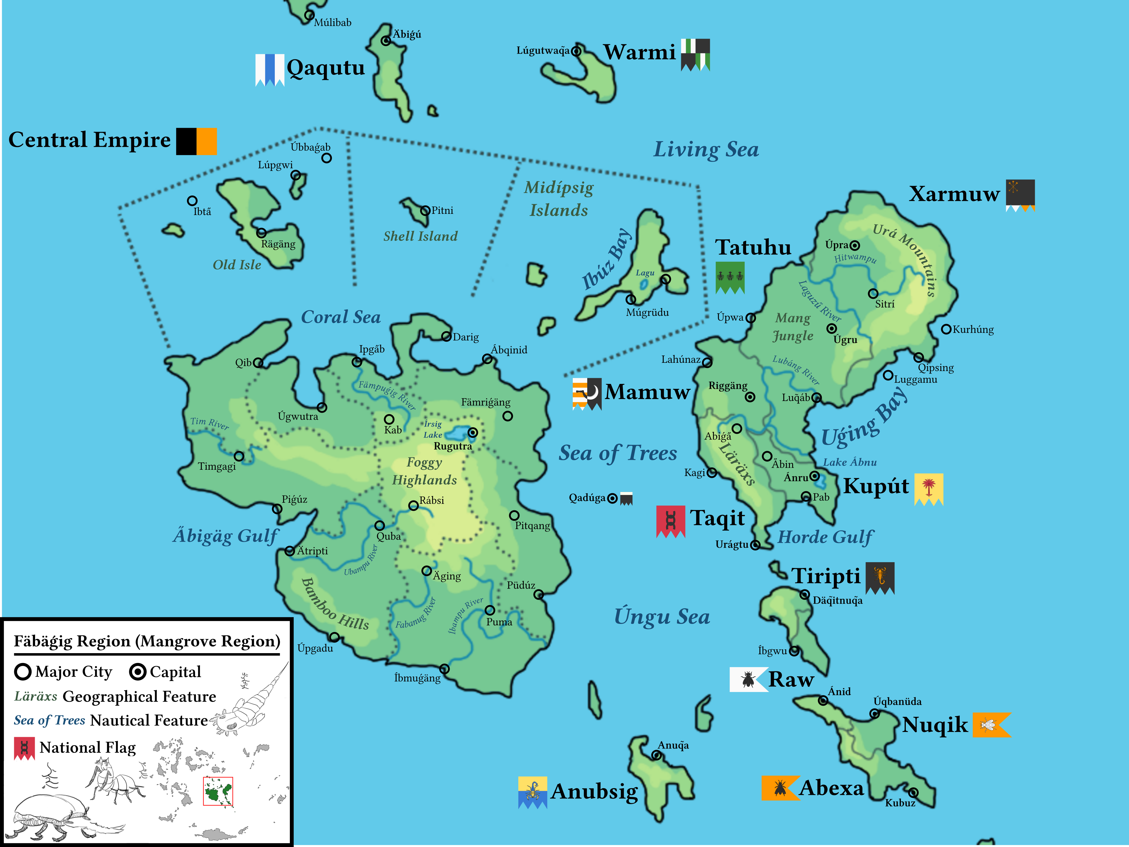
The Mangrove-Region, Mangrovia or Fäbäǵig is an important eco-region in the Medan archipelago. Located in the center of the continent, it's overgrown with thick mangrove forests and endemic sea trees that span oceanic distances. It is characterized by many dense islands, which often form clusters covering several square kilometers. This density made the transitional mangrove forests possible. The special mangrove trees have also adapted to the long distances and sometimes span small sea widths!
It borders on the territory of the Apafisians and represents the habitat of the Ribangese.
Coral Sea
The Coral Sea is a special feature of Mangrovia. Unlike the rest of the area, the sea to the north is largely free of mangrove forests. There is only one central island with mangrove forests, otherwise it has flat areas with many colorful coral species, some of which can grow very large.
Arthropod corpse
The arthropod corpse is located in the middle of the Sea of Trees in the Mangrovia. They are the remains of an enormous dead beetle from prehistoric times. In the popular belief of the Ribangese and the Ávabuz religion, this is the exoskeleton of the Rábtirif, the great beetle god from which the world was made. It is the remains that were no longer needed by the first ancestor.
An esoteric festival is held here every year to symbolically bend and reduce the power of the beetle gods. For example, a play is held in which the events of the slaughter are re-enacted. This is performed by professional Ugbanba.
This place is also one of the largest meeting spots of the Beetle Covens, Ribangese cults that worship the Beetle Gods, even though this is heresy and a criminal offense.
Arhi disease
The a̋rhí disease is found in the all of Mangrovia. It is spread by a type of mosquito and particularly affects children, which is why the child mortality rate is relatively high. It is one of the reasons why the mangrove area is less developed and lags behind in technology compared to the western archipelago.
Pyramids
The pyramids are located in the northern Mangrove Region and are part of the Central Empire. They are old Ribangese pyramids under water, surrounded by many underwater trees. They date from the time before the beginning of the ancestors, when beetle gods were still worshipped. Nowadays their use has been lost, they were probably once places of sacrifice.
Countries
The biggest country of this region is the Central Empire. There are many other minor countries on the islands too though.
- Central Empire
- Anubsig
- Kupút
- Mamuw
- Qadúga
- Qaqutu
- Taqit
- Tatuhu
- Tiripti
- Warmi
- Xarmuw


